A few weeks ago Ogle Earth linked to APRSKML, which converts amateur radio positioning data into a KML network link for Google Earth. In the meantime, instructions for its use have been fleshed out, and now new geoblogger Ian Turton reports back on some interesting uses for it:
The best bit is that the packets can be picked up and forwarded over the internet for people to view, map and otherwise play with. For example I spent this afternoon watching a tourist light airplane trip over the Florida Keys.
Ian’s considering incorporating APRSKML into a GeoRSS server, which would automate this functionality (if I understand him right:-).
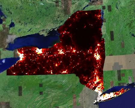
 If you’re a user of Google Earth, sit back and wait while GIS pros suddenly find it much easier to start publishing all manner of interesting data to Google Earth. If you want to see some eyecandy, check out
  If you are a GIS pro and use ESRI’s ArcMap, then Arc2Earth is going to make your life a lot easier if you need to publish to a free, widely available geobrowser — Google Earth. Arc2Earth comes in a $99 standard version and a $299 professional version which adds TIN export, the opening of network links and, in the future, publishing to a server. There is also an API in the works.