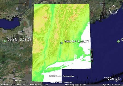
Dr. Mark Mulligan, of the Environmental Monitoring and Modelling Research Group at King’s College, London, writes:
Some of your readers may be interested in the Google Earth topographic overlays that I have generated for the globe (at 90m resolution) from the NASA Space Shuttle Topography Mission data, processed by http://srtm.csi.cgiar.org.
The previews (and access to the raw CSI-processed data) are available at http://www.ambiotek.com/topoview. Activate the elevation folder, then click the placemark for the tile you want to view, then click the green box in the balloon that appears.
It works very well for me, and it’s great fun in the mountains. Remember, you can play with the opacity slider. (Note, green box = the one with “WWW network link” on it. On a Mac, you will need to grab it quickly before it disappears.)