A few days ago I posted a link to a dozen high resolution historical maps that the Stockholm City Archives have published as KMZ files. These proved quite popular, so the good news is that there is plenty more where that came from.
Anna Bergman, who digitized and positioned the maps, wrote in an email that they have big plans — “you have no idea how many maps the archives have,” she teased in Swedish. I asked for more info, so I got this statement back, vetted for publication:
The Stockholm City Archives is currently working on a large scanning project called Open the Archives, which will be presented in part using Google Earth. We are planning to publish maps and drawings of historical buildings. Other kinds of digital material (scanned documents and database records) that we possess will also be presented through the use of GE. We intend to publish the material on our website free for all to use.
Anna attached two images to show the kinds of documents the archives have. The first one shows Mosebacke, a Stockholm landmark, circa 1852:
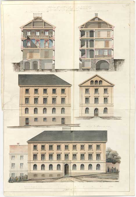
Click for high resolution
The next one is of a house and dates from 1733:
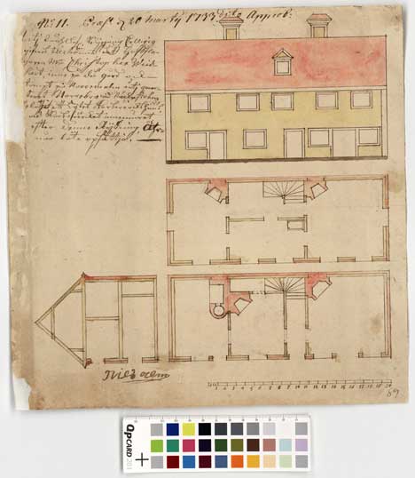
Click for high resolution
That’s the same year as this map (28MB, though I love it when I get to download stuff at “2400 KB/s” — I’m definitely getting my money’s worth as a tax payer around here:-)
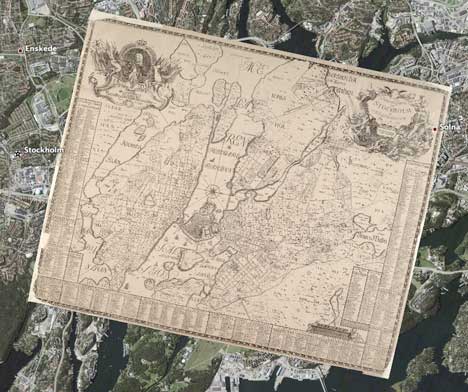
These documents will be georeferenced, so you can zoom in on a historical map in Google Earth and get links to drawings and outlines for historical buildings there.
So where am I going with this? These drawings and architectural plans would actually be an amazing resource for a virtual reconstruction of historic Stockholm, built with SketchUp. The drawings could provide both shape and texture to 3D buildings, while the maps pinpoint location. You could then fly around an accurate 3D rendition of Stockholm as it was documented hundreds of years ago!
And if the conversion tools mature, as I have no doubt they will, you could soon port all this work into Second Life, and then walk around in it, wearing nothing but 18th century fashions.
That’s too cool for it not to happen somehow…
[Update 0:24 UTC: Forgot to mention that Swedes are very good at this kind of geospatial enhancement of historical databases. Be sure to also read this story from a few months ago about the geospatial database of Swedish historical monuments.]
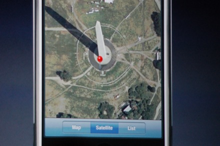
 I lost focus on CES announcements this week, distracted by