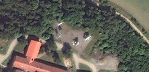
 Just a quick heads up for Swedes and/or power users of Google Earth: I noticed via the latest KML change log for imagery in Google Earth that Sweden had gotten a significant new addition of high resolution imagery after years of being mostly in low-resolution purgatory.
Just as with previous updates, most if not all of the imagery turns out to be from Sweden’s state GIS agency, Lantmäteriet.
There is good news and bad news to share with you.
The good news, overlooked by me since a previous smaller update in March 2011: Lantmäteriet appears to finally be restraining itself from censoring their datasets before release — the satellite dishes at the National Defence Radio Establishment (FRA) HQ, so clumsily airbrushed out of existence in a 2009 update, are now back:

Compare the current view to the view in 2009 and in 2007. If this is a trend, it is definitely in the right direction. It would be great to know if there was a policy decision behind it. Perhaps an actual journalist in Sweden will find out for us. (Or, Lantmäteriet reads this blog and decided to throw us a bone;-)
The bad news: Most if not all the imagery is labeled 1/1/2010, aka January 1 2010. This jars quite spectacularly with the new imagery’s summery scenes visible north of the Polar Circle — these images quite clearly were not taken on New Years Day.
So what happened? My bet is that Lantmäteriet either doesn’t have dates for a dataset taken piecemeal over a season (likely; it looks like it might be aerial imagery, reduced somewhat in resolution) or else it doesn’t want to give specific dates for privacy or financial reasons (unlikely). And so the metadata only tells us it is from 2010 — except that Google Earth can’t accommodate this level of all-too-human fuzziness, and so defaults to January 1.
Who cares? If you’re using Google Earth for research, it’s good to know that January 1 dates are probably bogus.