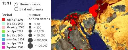
Declan Butler has just posted the latest iteration of his global avian flu map. It’s a beast of a dataset, and this version incorporates some major improvements over previous ones:
- It’s now a set of network links, so the data will update itself. Declan says weekly. This means the download is a keeper.
- The backend is now ArcGIS and Arc2Earth (instead of Microsoft Access and PHP).
- Better-defined datasets: One for human cases, one for bird cases, and a map of poultry density. That last one is unexpectedly fascinating — I see surprisingly few chickens in Sweden. More datasets are promised, such as rail networks and bird migration routes.
What could possibly make this any better? Timelines. Fortunately, Declan writes that it is on his to-do list. Meanwhile, Google just needs to add that functionality to the browser.
(Declan’s blog announcement.)