- Seero: Seero lets you publish live georeferenced video from your GPS-enabled laptop to the web. Currently in a closed beta. The holy grail, as I see it: Being able to publish live georeferenced video to the web from a GPS-enabled mobile phone, sort of what you can do now with Qik or Sweden-based Bambuser, but with live location tracking added. Looks like development in this space is reaching warp speed.
- NASA’s 3D Moon: New Scientist reports on the a new 3D map of the Moon’s south pole, made from highly accurate Earth-based radar observations with a view to setting up a permanent base there. It comes with plenty of YouTube eye candy. Any chance we civilians can cavort there soon, albeit virtually? (Via Gizmodo)
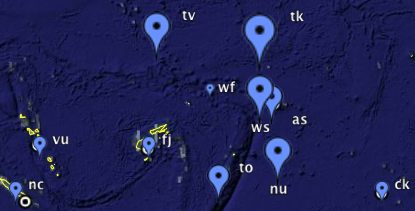
- Top level domains as KML: Matthew Zook at the University of Kentucky’s Department of Geography brings us TLDs, visualized and linked as KML:
- WordPress to KML update: Andrew Turner’s GeoPress plugin for WordPress, which lets you give posts coordinates and then view them as KML, gets an update to version 2.4.1, adding KML 2.2 compatibility.
- Live orbiting
frogsatellites as KML: Tracking satellites from scraped data was an early use of KML, but such applications have not usually been long-lived as they require server-side resources. Now Orbiting Frog, which last week brought us a cool Google Sky layer, has a very nice implementation running: The 100 brightest objects, live, the International Space Station with upcoming flight path and horizon, and a network link you can play around with yourself that lets you get detailed info for any satellite. - Google Outreach Spreadsheet Mapper: Google Outreach’s Spreadsheet Mapper let’s you separate style from content in a way that makes managing a large collection of KML placemarks into a true pleasure. I worked with a beta for a human rights project that is underway, and can testify that it gives you a whole new level of control over the way placemarks look. (I’m late in reporting this, but it is well worth an investigation.)
- International Journal Of Digital Earth: The inaugural issue is out now and it is free, available as HTML and PDF. What’s it about? “The International Journal of Digital Earth, as the official publication of the International Society for Digital Earth, aims to provide a predominant academic forum for people to exchange ideas, to carry out research and to discuss development problems. The Journal focuses not only on the theory and technology related to research on digital earth, but also on the many applications of relevance to society.” (Via The Earth is Square)
- KML tutorial on YouTube: Quick and Dirty KML with Mano and Pamela, Googlers: Creating simple KML in Google Earth, placemarks in Google Maps, and finally, on using Google Outreach’s Spreadsheet Mapper.
- South China Sea Project: Cool new science KML, highlighted on Google Lat-Long Blog. Plenty more where that came from on the Google Earth Outreach Showcase.
- Microsoft Virtual Earth update: New bird’s eye imagery on February 27, with extra love shown to Portugal, Italy, and Austria.
- Noah’s Ark is in Yemen: Really:
When western scholars discovered a program named “Google Earth”, they looked continuously for Noah’s Ark on every mountain and hill across the sphere.
It turns out that all you have to do is convert the numbers of the Koranic verses that mention the ark into geographic coordinates, and bingo, the location is plainly in Yemen.