Michael Kosowsky, of HeyWhatsThat.com — a site that generates horizons for specific locations from DEM data — has emailed friends of the site to announce compatibility with Google Sky.
This is the first Earth-Sky mashup I’ve come across, and it’s a tour de force. I’ll let Michael explain: (slightly edited)
Executive Summary:
- At http://www.heywhatsthat.com generate a new panorama or view an existing one.
- Hit the new “at night” button just below the “View in Google Earth by day” button.
- Google Earth opens, switches to sky mode, and overlays the celestial sphere with the horizon, visible summits and an azimuth-altitude grid for that location at the current time.
Details:
Google Sky isn’t as good as other astronomy applications at some tasks. For example, there’s no way to indicate what portion of the sky is visible from a given location at a given time. But because Google Earth is extensible, third parties can provide functionality. And since HeyWhatsThat.com specializes in drawing your horizon…So now when you’re looking at a panorama on HeyWhatsThat, you’ll find that instead of a “View on Google Earth” button there are two buttons: “View in Google Earth by day” and “at night”. Hit “at night” and Google Earth will open up and overlay the celestial sphere with your computed horizon and peaks and an azimuth-altitude grid reflecting the state of the sky at that instant.
You may find you have to manually switch to sky view, and if you don’t see the overlays — blue horizon line, red summit markers, and green grid lines — you’ll have to refresh the network link you just loaded: look in Google Earth for an entry on the left under Temporary Places labeled something like “Planisphere for XXXX (current),” right-click on it, and select “refresh.” And note that you can refresh it any time and the horizon will be adjusted to the current time.
(Advanced question: should I just send down the KML file rather than a NetworkLink when you click “at night”? A link that you can refresh at any time to update to current conditions is real nice, but in my testing GE hasn’t been completely reliable about refreshing the Network Link when it first receives it, forcing the complexity of the previous paragraph.)
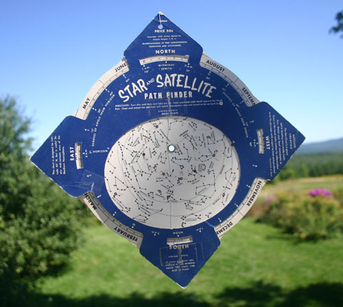
Unfortunately, it’s been cloudy every night since the Google Sky announcement, so I haven’t been able to field test this code, but it does nicely match my childhood planisphere. In particular, I don’t currently correct for astronomical refraction, which should depress the apparent horizon by half a minute of arc; maybe tonight I’ll get to see if that would be useful.
More:
You can do more by crafting custom URLs, including computing the horizon for any specified time and for any arbitrary latitude and longitude, even locations above 60 degrees north and below 54 degrees south where we don’t have elevation data. For example,http://www.heywhatsthat.com/bin/planisphere.cgi?lat=44.2&lon=-69.1
refers to that latitude and longitude at the current time, and
http://www.heywhatsthat.com/bin/planisphere.cgi?id=9UK4EFG7&date=8/23/2007+10:20pm+EDT
refers to the computed panorama for Bald Mountain at 10:20pm EDT on August 23. Browse to either of those links and you’ll receive the corresponding KML file; create a network link using them and you’ll be able to refresh the link at any time. See the technical FAQ for details.
If you use a URL for a fixed latitude/longitude (e.g. the first example above), the computation assumes a flat horizon, rather than trying to compute the true horizon by finding all the mountains. Arguably this is adequate for most applications — one seasoned amateur astronomer pointed out that your horizon can be off by as much as five degrees and you won’t care, because most of the time you’re looking higher in the sky — but then you can’t answer questions like “Hey, what’s that right above Bald Mountain?”
Just one note: Using a Mac with Firefox returned files with “.cgi” as the suffix, and these did not load in Google Earth. I manually changed the suffix to “.kml”, after which they loaded just fine. Fixed.
I’m so glad this blog is writing itself this week:-)
Thanks for the .cgi catch. It’s fixed now; you
can use either planisphere.cgi or planisphere.kml
in the above examples.
Oh, and in response to user feedback we now
have a finer alt-az grid available and we’ve
thrown in the Sun and planets (and Pluto too).
MK