Out of Brazil, a remarkable story, as reported by Treehugger blog: The deforestation of the Amazon has provided one unforeseen boon to archaeologists — the denuded ground has laid bare some amazing pre-Columbian geoglyphs, visible from the air, and thus on Google Earth:
One of the factors that contributed to so many geoglyphs being undetected prior to the aid of satallites is their enormous size. According to leading geoglyph scientist Alceu Ranzi, his latest discoveries — five sets of geometric shapes, with circles, squares and lines — can measure more than a mile from one extreme to another.
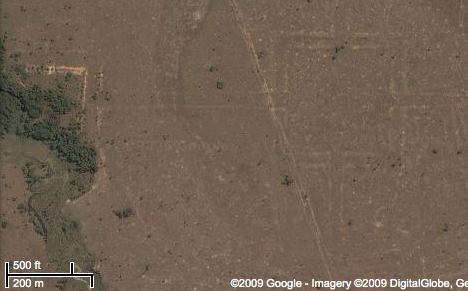
Treehugger doesn’t provide locations of examples of these geoglyphs, but Globo Amazonia does. For the sake of convenience, here they are on Google Maps — click here to see them on Google Earth.
View Amazon geoglyphs in a larger map
Check out some more geoglyphs in a region close to this one:
http://www.globoamazonia.com/Amazonia/0,,MUL1302172-16052,00-UNESCO+PODE+TRANSFORMAR+MARCAS+MILENARES+NO+AC+EM+PATRIMONIO+MUNDIAL.html
how do i find HAITI? I WOULD LIKE TO SEE WHAT IS GOING ON AND I WONDER WHY THERE IS NO SUNAMI
NITROMAN@TCQ.NET